
Maplewood Neighbors and Block Sources
There is no official Maplewood neighbor roster, and “neighbor” is not a public legal category. For one search, it can mean an adjacent parcel. For another, it can mean the same block, a short street segment, a historical directory sequence, or a civic-area label. State parcel data, municipal property records, recorded instruments, and library directories each answer a different question. Start by defining the geographic method, then preserve the map date, address form, block and lot, and the source's own limits.
| Source | What It Shows About a Block | Access |
|---|---|---|
| NJGIN parcel context | Parcel geometry, nearby parcel relationships, and map context; displayed names can be redacted | State map and data context |
| New Jersey Property Explorer | Address, municipality, block, lot, displayed owner, assessment, and classification fields | State property-search route |
| Essex Register PRESS | Recorded transfer parties, instruments, dates, and block-and-lot search results | Online index and image access; formal title work is in person |
| Maplewood Memorial Library archive | Dated address and street listings from scanned city directories | Digital archive and library assistance |
| Civic organizations | Public meeting, trustee, board, or business-directory information where published | Organization and Township public pages |
These sources do not prove the same thing. A displayed property owner may receive mail elsewhere. A directory listing is tied to a publication year. A parcel border is map context, not a survey. A neighborhood group may publish meetings without publishing any member directory. Keeping that separation is the central safeguard when researching Maplewood neighbors.
Define Maplewood Neighbors Before Searching
Choose a single, reproducible meaning before opening a Maplewood map. “Adjacent parcel” means parcels that meet on the viewer. “Same block” means a defined street segment. “Directory neighbor” means the next entry under a street heading in a dated volume. “Civic area” means a label used by a community map or planning document. These methods can produce different answers at the same address, and none is a substitute for a legal boundary survey or an official household list.
Postal geography adds another difference. The USPS route and ZIP identify delivery formatting, while Maplewood municipal geography is determined through property and assessment sources. A shared ZIP or nearby postal route does not establish a parcel relationship or a person connection. For an exact delivery address, use USPS ZIP lookup; keep that result separate from the block and lot recorded in property sources.
Map a Maplewood Neighbor Block
Use an address to create a trail from street location to parcel context, then to dated records. The path should remain narrow. It is a way to document nearby parcels and recorded parties, not a claim that each named person currently lives nearby.
- Normalize the house number, street suffix, unit, municipality, and postal ZIP. Search the exact address first, then retain the standardized form used by the source.
- Locate the address in the state property route or NJGIN context, and record the Maplewood block, lot, parcel identifier, map date, and any visible redaction.
- Mark each immediately adjacent parcel with its direction of adjacency and street frontage. Keep the viewer URL and the map's non-survey disclaimer with the capture.
- Use the block and lot in Essex PRESS to find recorded instruments within bounded date windows. Compare only the record's grantor or grantee role, not an assumed current presence.
When the question expands beyond the immediate block, the Maplewood by-street directory follows the full address-record chain without collapsing owner, directory listing, and occupant into one label.
Maplewood Neighbor Parcel Map Caveats
NJGIN parcel information links parcel data to county and municipal stewardship and can connect a map view to property research. Its warning matters: parcel polygons are not legal boundaries or surveys, county edges may not line up, and map products can suppress owner names under Daniel's Law. A boundary question belongs with a recorded lot, plan, or survey, not a click on a map.
Maplewood's official routes also include the assessor, tax material, and the GovPilot permit map. Those tools may surface a property card, assessment, or permit history, but a construction plan should not be expected to be public. Owner display, mailing address, situs address, assessment year, tax account, sewer account, permit number, and instrument number are separate fields. A difference among them should be recorded, not silently resolved.
Note: a Maplewood parcel polygon can be a useful geographic clue even when it does not establish the legal edge, current household, or protected owner information.
Maplewood Neighbors in Dated Street Pages
The Maplewood Memorial Library digital archive supplies a different kind of block evidence. Its city-directory collection spans 1888 through 1970. In the 1959 street guide, Briarcliff Court is described from 175 Parker Avenue northeast to a dead end and then shown with numbered entries. Tower Drive includes numbered entries, unit notation, and a vacant entry. Those details explain why a street page can be more useful than an alphabetic entry for a historical address question.
Use the printed street heading, page, edition year, and archive URL every time. The scans are not a normalized modern database, and OCR can miss punctuation, apartment markers, or names. A historical listing should be described as “listed at” in that edition, not as proof of an uninterrupted Maplewood residence. This dated-street evidence is also a useful interest layer when a current parcel result and an archival record need clear separation.
Maplewood Neighborhood Groups and Public Information
Local associations add civic context but not a person-by-person block list. The available public materials vary widely. Some describe meetings and trustees, others provide a business directory, and others give only a geographic label. The distinctions matter because a Maplewood neighbor search should not treat a meeting page as a household roster.
| Hilton Neighborhood Association | Founded in 1995; publishes monthly-meeting, board, newsletter, and membership information. No complete public household or member directory was located. |
|---|---|
| Maplewood Village Alliance | Publishes trustees, meetings, and an online business directory. The directory is for businesses, not nearby households. |
| Springfield Avenue Partnership | Named on the Township civic-meetings page as a district-management organization with a meeting route. No household directory was located. |
| Community Coalition on Race map | Provides area labels such as Hilton, College Hill, Briarcliff/College Park, and Tower Drive. The labels are civic-area reference, not proof of an active association. |
The Hilton Neighborhood Association page shows the public association information available for Maplewood neighbors.
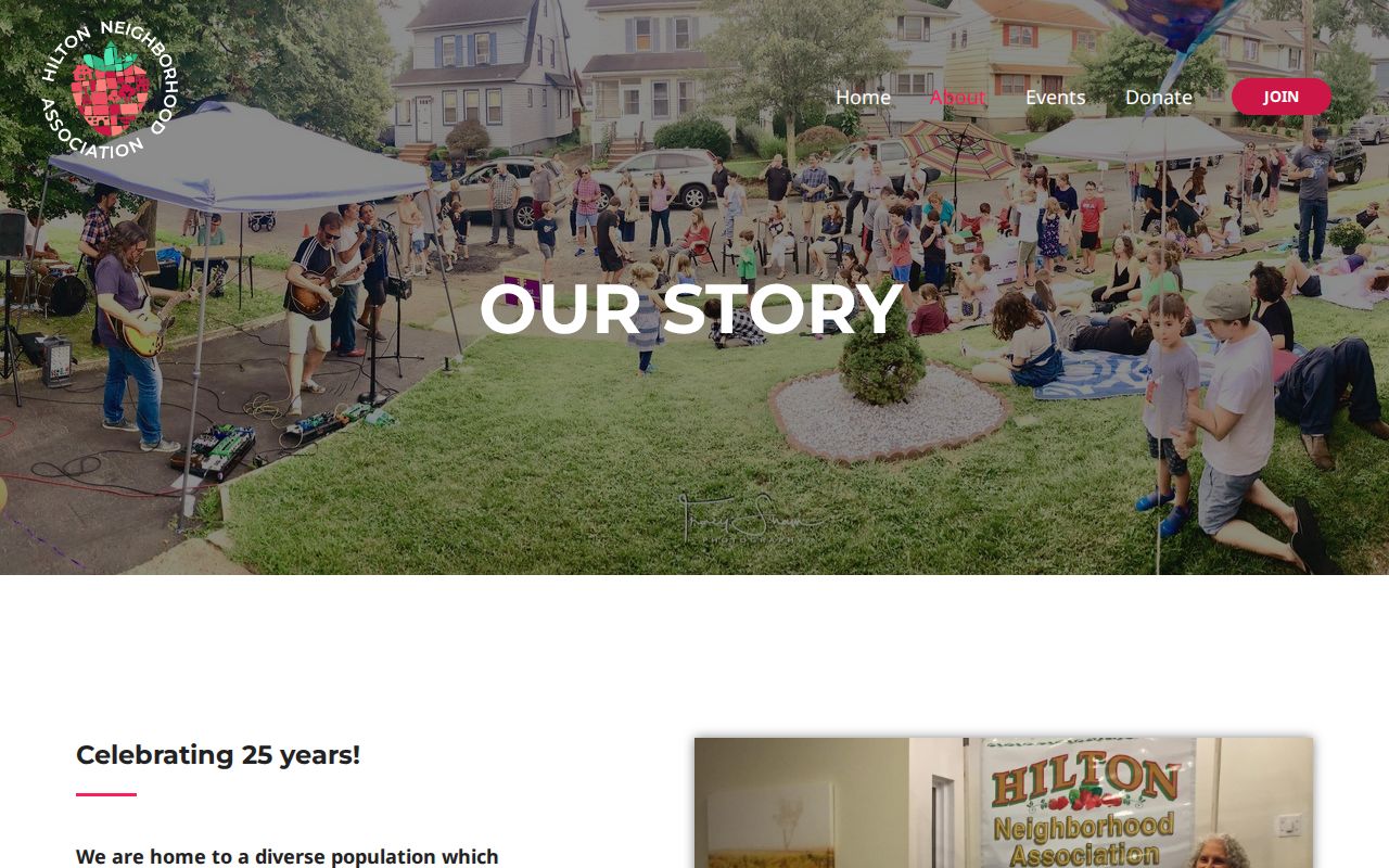
The association's published history and meeting information can help identify a civic contact, but they do not identify every household in the Hilton area.
The Maplewood Village Alliance public page distinguishes district-management information and a business directory from a household directory.
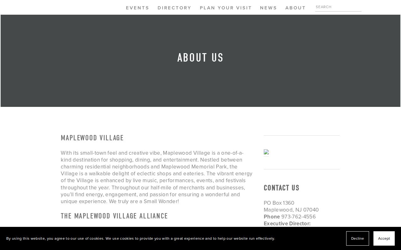
Its public trustee and meeting information can support civic research around a Maplewood district without implying that businesses or trustees are residential neighbors.
Maplewood Voter Information Is Limited
The New Jersey voter-status tool requires an individual's first name, last name, and birth month and year, with an optional middle initial. It is not a block-browse tool. Exact spelling, spaces, hyphens, married names, nicknames, and initials can change the result. An inactive status may follow returned mail, so it cannot stand alone as a statement about current Maplewood neighbors.
Specified election records can be available through the county custodian under OPRA, but protected identifiers, signatures, protected addresses, statutory election-period rules, and snapshot dates matter. No official public block-level voter-visibility table or direct full-file request form was located in the research. Request a specific existing record from the Essex County custodian and ask for current redaction, fee, and delivery rules.
Maplewood Historic Areas Need Careful Labels
The Township's 2025 Historic Preservation Element identifies Roosevelt Park, College Hill, Boyden/Burnet, Golf Island, Valley Street, South Mountain Reservation, and Maplewood Station historic areas or district references. These names offer useful context when neighboring addresses have different development eras or when a street appears in a local-history search. They do not mean every nearby parcel is designated, and they do not identify the people at any address.
The same care applies to the 2025 Woodland preservation grant, which funds restoration work beginning in 2026. It is a location-specific preservation update, not a neighborhood directory. Use the Township's plan or dated preservation source to describe the documented area, then use property, deed, and archival records separately for any address-level question.
Maplewood Block Records and Commercial Categories
Official records and commercial neighbor-search categories serve different purposes. An official source identifies its custodian, record type, date, and access limits. A commercial category may combine sources, but its date, matching method, and completeness can vary. Neither category turns an address into permission to infer a private person's identity or current presence.
| Official record category | Commercial neighbor-tool category | Practical check |
|---|---|---|
| Parcel, deed, court, voter-status, or library record | Combined person-and-address profile category | Check the named custodian, source date, and record role before relying on a match. |
| Defined fields and public-record restrictions | May combine records from different dates and purposes | Do not assume one displayed address is a current Maplewood residence. |
| Correction or request route through the custodian | Separate privacy or correction process, if offered | Use the source holding the record for a factual correction or confirmation. |
For Maplewood neighbors, the better practice is to retain the narrowest source that answers the question: parcel context for adjacency, PRESS for a recorded transfer, a directory page for a historical listing, or an organization page for public civic information.
Maplewood Neighbor Lookup Privacy Limits
Maplewood records contain deliberate privacy boundaries. Daniel's Law can suppress covered public servants' home-address and phone information in government web records, including some parcel and tax-map products. The New Jersey Address Confidentiality Program provides a substitute address and mail forwarding for eligible participants. Voter records protect signatures and identifiers, and MVC personal information has a permitted-purpose route rather than a general address-search function.
Never reconstruct a protected address by combining a map, directory, voter result, court file, or other source. A redacted field should remain redacted. A property owner, a historic directory listing, and a map-adjacent parcel are distinct facts, and none should be converted into a present household identity without lawful, independent confirmation.
Lawful use. Use Maplewood neighbor records for personal, lawful research and civic context. Never use a result to stalk, harass, intimidate, or harm another person.